Mapping Terrain
Vinalhaven, Maine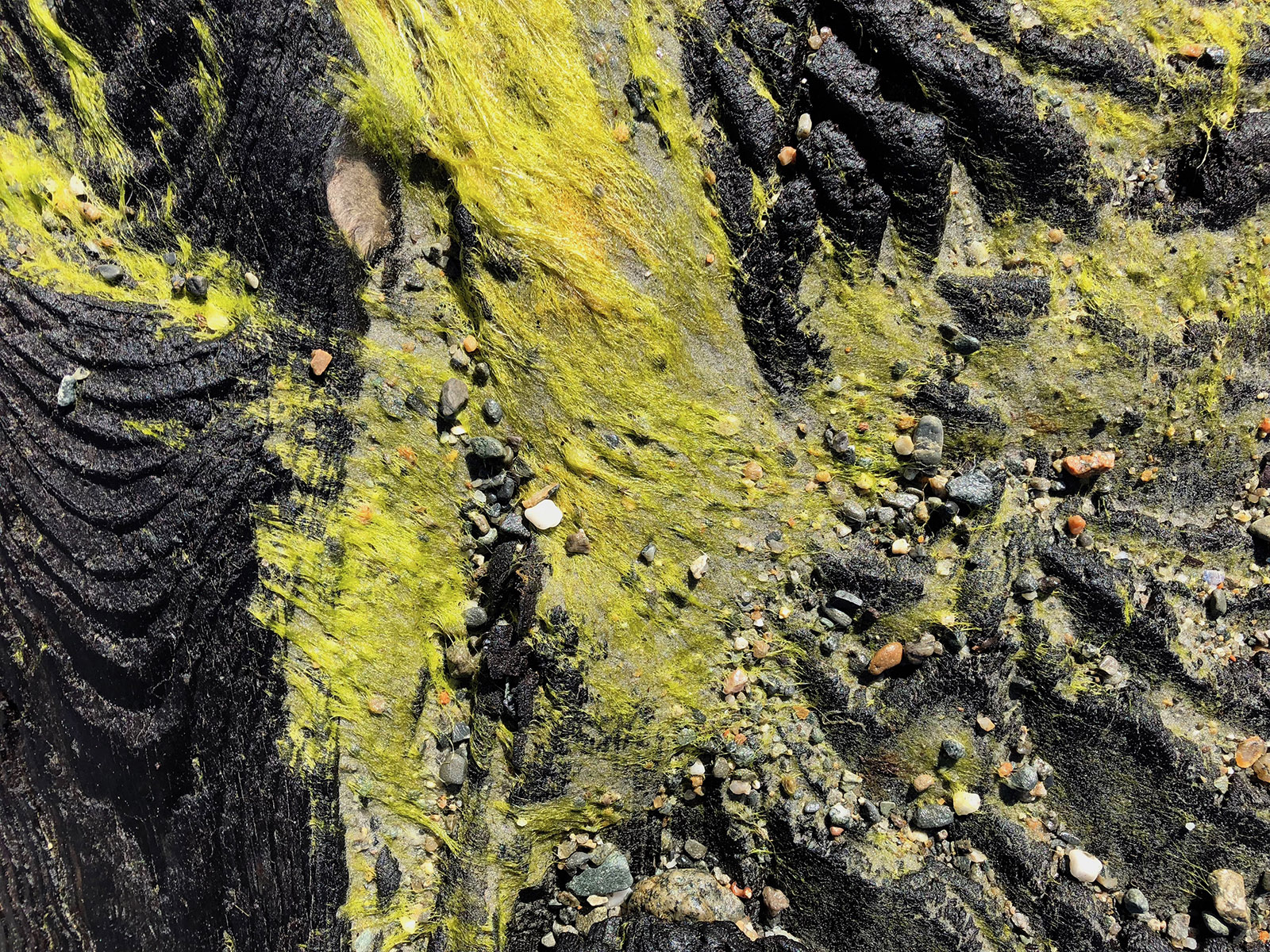
Sandie Maxa
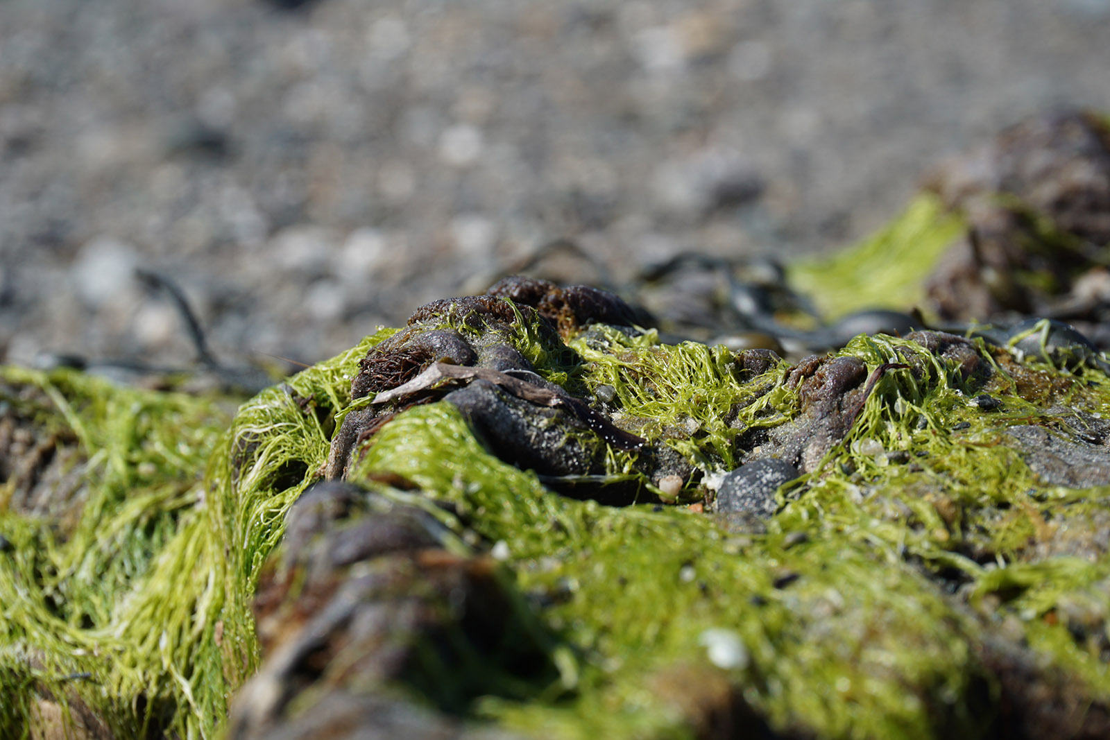
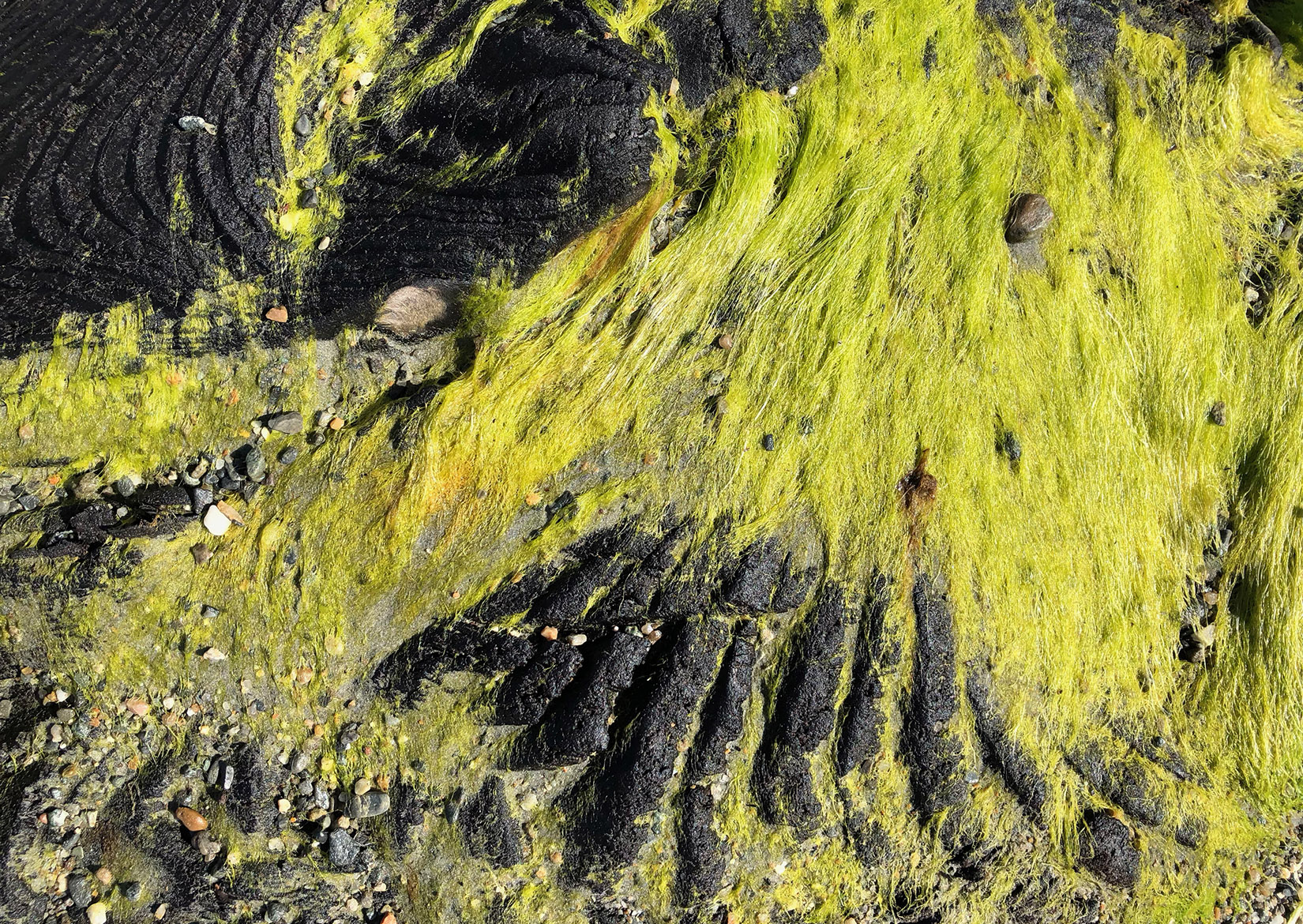
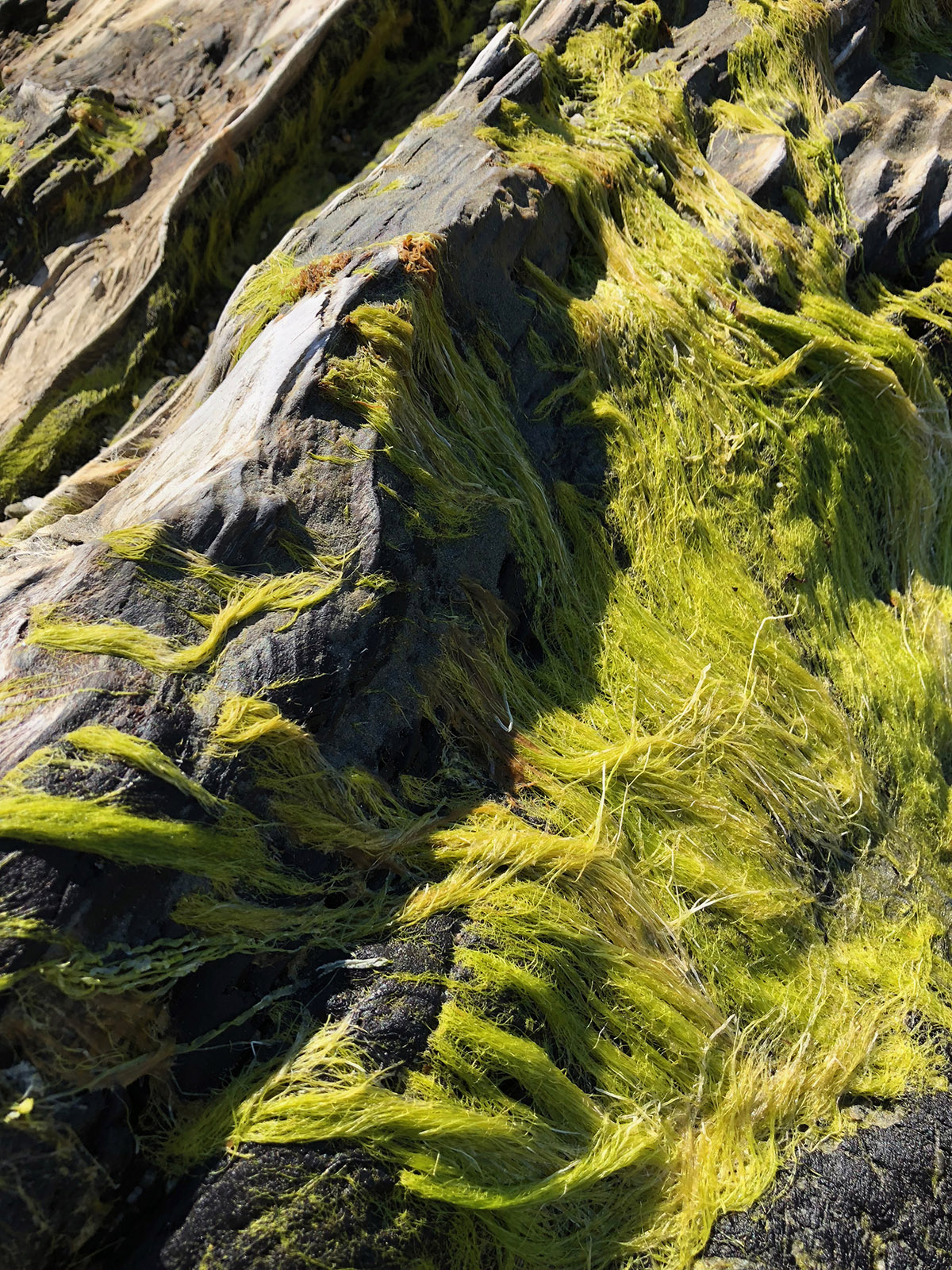
State Beach, Vinalhaven, Maine, low tide on a cool day. The small environments of rocks, seaweed and stones scattered every few feet around the beach are maps to me. I see the topography of Alaska — dense stands of trees, foothills, valleys and rocky outcroppings.
Sandie Maxa
Sandie Maxa
Sandie Maxa
Fairbanks, summer, 1994. The sky was golden blue, even at 10pm and we were picking blueberries on the way to our campsite with heavy packs. A beautiful evening … led to a rainy night … and a very wet morning. We were camped at mile 6 of a 12 mile loop and feeling heavy. The same amount of distance to the end as to the beginning. Both ways uphill in the pouring rain.
The day dragged on and on as we carried our soaked packs, tent and food bags up foothills, into valleys and past rocky outcroppings. One foot in front of the other… the terrain mapped by the journey.